The GeoMetis BX software package is for use with Ocean Bottom Cable, Transition Zone, Nodal and USBL surveys. It uses a unique method of reverse engineering existing data to locate problems in processed data.
BX provides the user with significant flexibility to establish the ideal way to analyse and / or process Source, Receiver and Node positions.
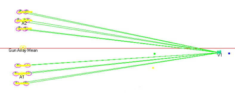
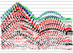
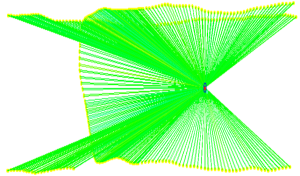
A suite of functionality which checks data recording using graphical displays that simplify error detection. Using any one of a number of default processing flows, the user can process, QC and compare positions for Source, Receiver, USBL and First Break data.