geometis
Ocean Bottom
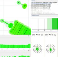
GeoMetis BX for all OBS surveys. Processing and QC of Source, Acoustics, First Breaks, Nodal and USBL.
File Format Checking
GeoMetis PXCheck and SPSCheck to import, view, check and verify all industry standard file formats.
Navigation Data Tools
Towed streamer network analysis, mapping, geodetic & reprocessing tools.
Established in 2012, NorthStar Geo Ltd is a UK company which designs, develops and manages software products used for the processing, quality control and analysis of navigation and positioning data for the seismic exploration industry. The company is supported by over 40 years of experience covering all aspects of navigation and positioning data. This experience has been gained whilst working for a variety of companies, including major seismic Contractors, Consultancies and Equipment Manufacturers.